A Six-Part Online Executive Education Program

The Geospatial AI Academyfor Government

An executive education program that equips government leaders to prepare their organizations for the Physical AI era. 

Program 2026/27

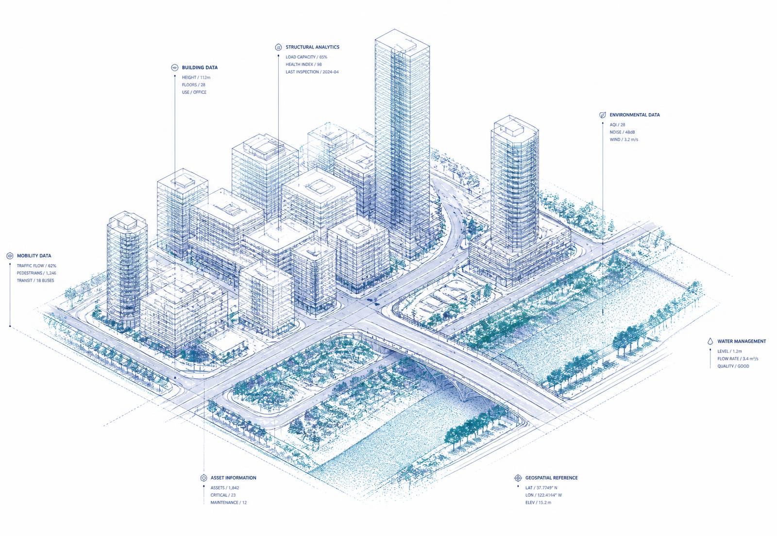
Isometric wireframe digital twin of a city block annotated with geospatial data layers

The Premise

Intelligent systems are moving beyond analyzing information and beginning to interact with the physical world.

Artificial intelligence is transforming government—but successful AI initiatives require far more than large language models, copilots, and chatbots. The next generation of AI will help manage transportation networks, optimize public works, assist emergency responders, monitor critical infrastructure, support utilities, and operate digital twins of entire communities.

These systems all depend on one essential capability: trusted, accurate, and continuously updated geospatial data.

The Geospatial AI Academy for Government is a six-part executive education program designed to help government leaders understand this emerging transformation and prepare their organizations for the Physical AI era. Rather than focusing on algorithms, programming, or technical theory, the Academy demonstrates how government agencies can combine GIS, machine learning, imagery, reality capture, digital twins, real-time operational data, robotics, and autonomous systems to improve services, reduce costs, strengthen resilience, and make better decisions.

Each session answers one essential executive-level question and builds naturally upon the previous session.

The Academy Learning Journey

01

Why does AI need GIS?

02

How does AI learn about our community?

03

How does AI see the physical world?

04

How does AI understand what is happening right now?

05

How does AI take action in the physical world?

06

How do we prepare our agency for this future?

This progression creates a structured executive learning experience—moving participants from the foundations of geospatial AI to an actionable strategy for building an AI-ready government agency.

Curriculum

Six sessions, one roadmap

Illustration for Why AI Needs Government GIS01

Why AI Needs Government GIS

Building the Digital Foundation for Intelligent Government

Why does AI need GIS?

Artificial intelligence cannot manage roads, inspect bridges, coordinate emergency response, or optimize public services without understanding where assets, people, risks, and events are located—and how they relate to one another. Roads, bridges, water systems, public buildings, parks, utilities, emergency resources, vehicles, and critical infrastructure all exist within geographic space. GIS provides the framework that allows AI to understand this physical environment.

This opening session explains why GIS is evolving beyond mapping to become the digital foundation for AI-enabled government. Participants will learn how trusted geospatial information provides the context, relationships, and operational memory that intelligent systems need to understand a community.

Topics

  • The evolution from Generative AI to Physical AI
  • Why location and spatial context matter to AI
  • GIS as the foundation for intelligent government
  • Digital twins and Common Operational Pictures
  • Building trusted, AI-ready spatial data
  • Emerging government applications

Key Takeaways

  • A clear understanding of why AI needs location and spatial context
  • A new perspective on GIS as strategic government infrastructure
  • An understanding of how GIS supports digital twins and Physical AI
  • A framework for evaluating whether their geospatial data is AI-ready

Who Should Attend
City and County ManagersCIOs, CTOs, and Chief Data OfficersGIS Directors and ManagersPublic Works and Engineering DirectorsTransportation and Utility LeadersPlanning and Economic Development DirectorsEmergency Management and Public Safety Leaders
Illustration for Teaching AI About Your Community02

Teaching AI About Your Community

Machine Learning for Better Government Decisions

How does AI learn about our community?

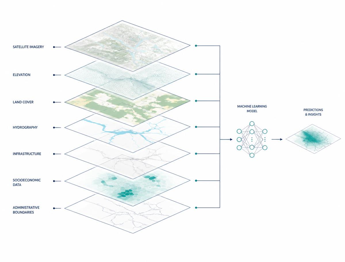
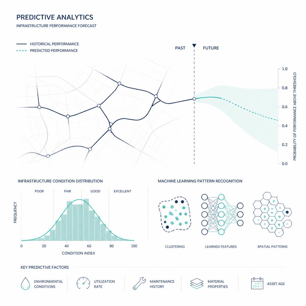
Government agencies possess decades of valuable information about infrastructure, assets, services, incidents, environmental conditions, community needs, and operational performance. Machine learning can identify patterns within that information and help agencies predict what may happen next. It can support more informed decisions about maintenance, investment, resource allocation, risk, resilience, and service delivery.

This session explains machine learning in practical, nontechnical terms. Participants will discover how AI learns from historical and geospatial data, where predictive analytics can create value, and why trusted data remains essential to producing reliable outcomes.

Topics

  • Understanding machine learning in government
  • Predictive analytics and decision support
  • AI for infrastructure and asset management
  • Risk, resilience, and emergency planning
  • Data quality, bias, and model accuracy
  • Practical government applications

Key Takeaways

  • A practical understanding of how machine learning uses government data
  • The ability to identify valuable predictive applications within their agency
  • A clearer understanding of data quality, bias, and model reliability
  • A framework for selecting realistic, high-value AI projects

Who Should Attend

Asset Management LeadersPublic Works and Transportation DirectorsUtility and Infrastructure ManagersGIS and Data Analytics ProfessionalsCapital Improvement and Planning LeadersEmergency Management and Resilience OfficersBudget, Finance, and Performance Management Leaders
Illustration for Giving AI Eyes03

Giving AI Eyes

Computer Vision, LiDAR and Reality Capture for Government

How does AI see the physical world?

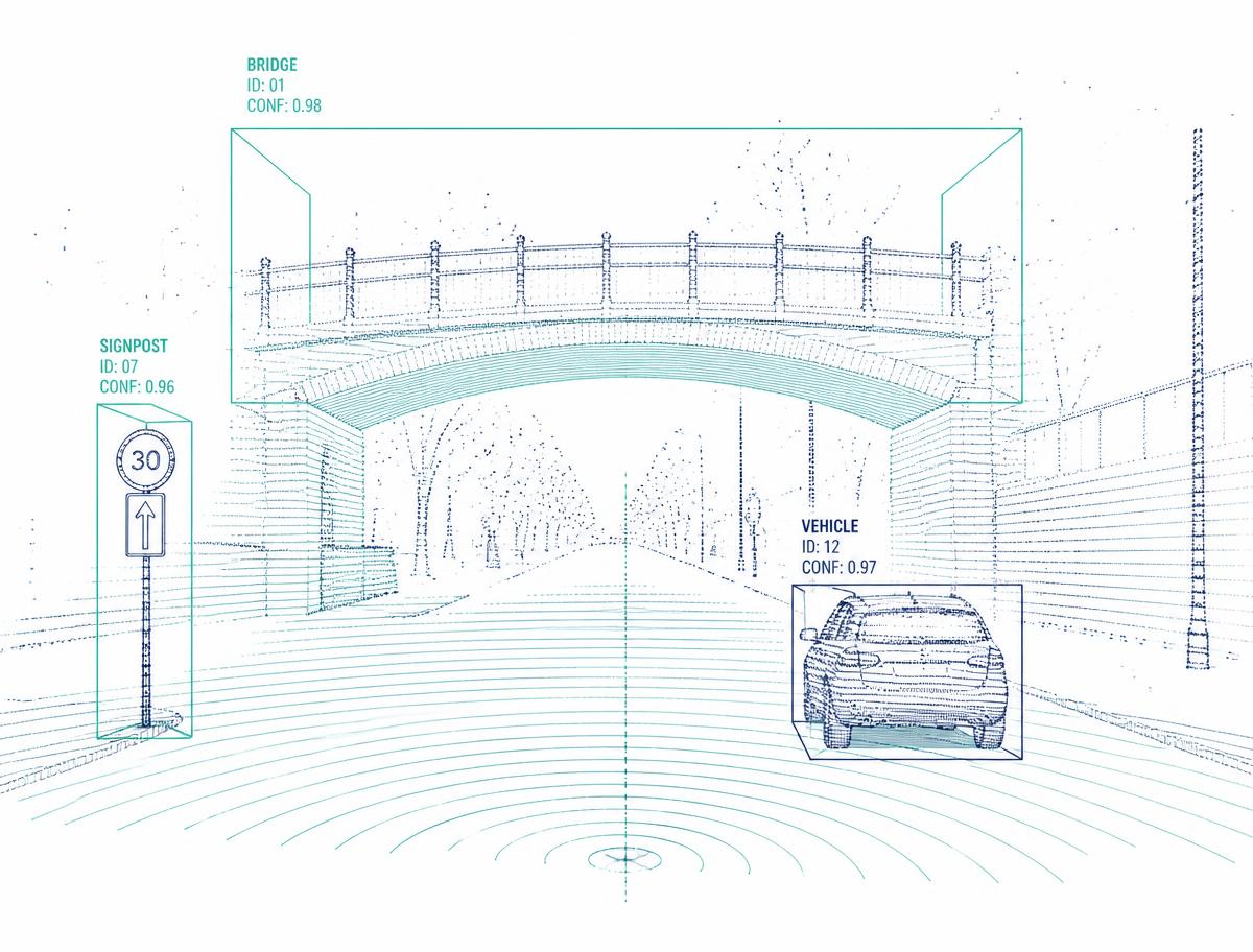
AI needs more than databases and maps to understand a changing community. It also needs current information collected through imagery, LiDAR, mobile mapping, drones, satellites, cameras, and other forms of reality capture. Computer vision allows intelligent systems to interpret this information, identify physical assets, assess conditions, recognize changes, and create detailed representations of the built and natural environment.

This session explores how agencies can use computer vision and geospatial technologies to automate inventories, improve inspections, support compliance, reduce manual fieldwork, and keep infrastructure information continuously updated.

Topics

  • Computer vision and spatial AI
  • Imagery, LiDAR, and reality capture
  • Mobile mapping, drones, and remote sensing
  • Automated infrastructure and asset inventories
  • AI-assisted inspection and compliance
  • Creating accurate, living digital twins

Key Takeaways

  • An understanding of how AI interprets imagery, LiDAR, and reality-capture data
  • The ability to identify inventories and inspections suitable for automation
  • A clearer view of how current spatial information supports compliance
  • A framework for creating accurate and continuously updated digital twins

Who Should Attend

GIS and Mapping ProfessionalsPublic Works and Engineering LeadersTransportation and Infrastructure ManagersAsset Management and Inspection TeamsADA and PROWAG Compliance LeadersSurveying, Planning, and Capital Projects ProfessionalsDrone, Imagery, and Reality Capture Program Managers
Illustration for The Living Digital Twin04

The Living Digital Twin

Connecting Government Operations in Real Time

How does AI understand what is happening right now?

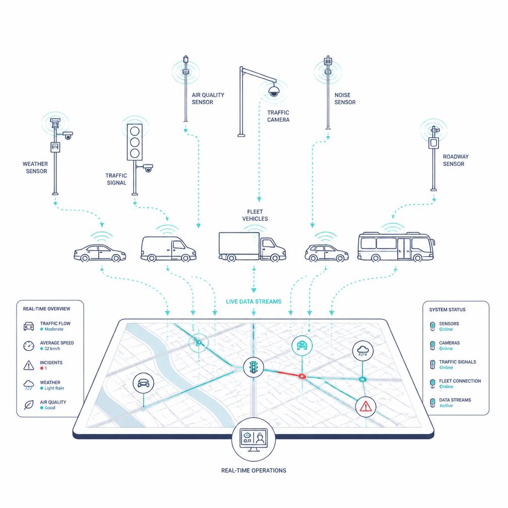
A traditional digital twin represents the physical environment. A living digital twin connects that environment with continuously changing information from vehicles, field crews, sensors, traffic systems, utilities, weather services, cameras, and emergency operations. This creates an operational environment in which agencies can see current conditions, understand emerging events, coordinate resources, and make informed decisions using a shared view of their community.

This session demonstrates how governments can move from static maps and disconnected applications to integrated, real-time operational intelligence. Participants will learn how living digital twins can improve situational awareness, interdepartmental coordination, service verification, infrastructure management, and emergency response.

Topics

  • The evolution of the living digital twin
  • Connecting operational systems with GIS
  • IoT, sensors, fleets, and connected infrastructure
  • Real-time situational awareness
  • Cross-department operational coordination
  • Government operations and response applications

Key Takeaways

  • A clear understanding of what makes a digital twin operational and “living”
  • The ability to identify valuable real-time data sources across their organization
  • An understanding of how shared situational awareness improves coordination
  • A framework for moving from disconnected systems to an integrated operational environment

Who Should Attend

Government Operations ExecutivesPublic Works and Fleet DirectorsTransportation and Traffic Operations LeadersUtility and Water Operations ManagersEmergency Managers and Emergency Operations Center LeadersPolice, Fire, and Public Safety Command StaffGIS, IT, and Operational Technology Professionals
Illustration for Physical AI in Government05

Physical AI in Government

From Intelligent Infrastructure to Autonomous Operations

How does AI take action in the physical world?

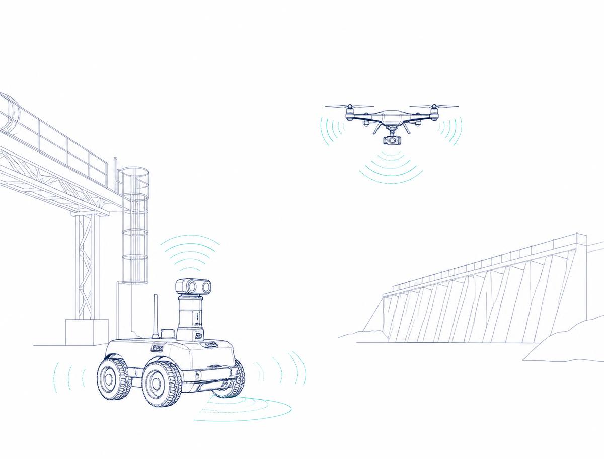
Artificial intelligence is beginning to move beyond analyzing information and recommending decisions. It can increasingly interact with the physical world through robotics, autonomous vehicles, drones, intelligent traffic systems, connected infrastructure, and automated operational equipment. Robotic systems can inspect hazardous infrastructure. Drones can support emergency response. Intelligent transportation systems can adjust to changing conditions. Autonomous equipment can help maintain public assets, while AI-enabled facilities can monitor and manage their own performance.

This session explores how Physical AI could transform government services and infrastructure operations. Participants will examine the opportunities, limitations, safety considerations, and public responsibilities associated with systems that can sense, understand, decide, and act within real environments.

Topics

  • Understanding Physical AI
  • Robotics and autonomous systems
  • Intelligent and responsive infrastructure
  • Human-AI collaboration
  • Safety, governance, and public trust
  • Preparing for autonomous government operations

Key Takeaways

  • A practical understanding of Physical AI and autonomous systems
  • An awareness of emerging applications for government operations and infrastructure
  • A clearer understanding of safety, governance, and public-trust considerations
  • A framework for determining where human oversight must remain central

Who Should Attend

City, County, and Agency ExecutivesPublic Works and Transportation LeadersInfrastructure and Utility DirectorsEmergency Response and Public Safety LeadersCIOs, CTOs, and Innovation OfficersFleet and Operational Technology ManagersRisk, Legal, Procurement, and Policy Leaders
Illustration for Building the AI-Ready Government Agency06

Building the AI-Ready Government Agency

A Strategic Roadmap for the Next Decade

How do we prepare our agency for this future?

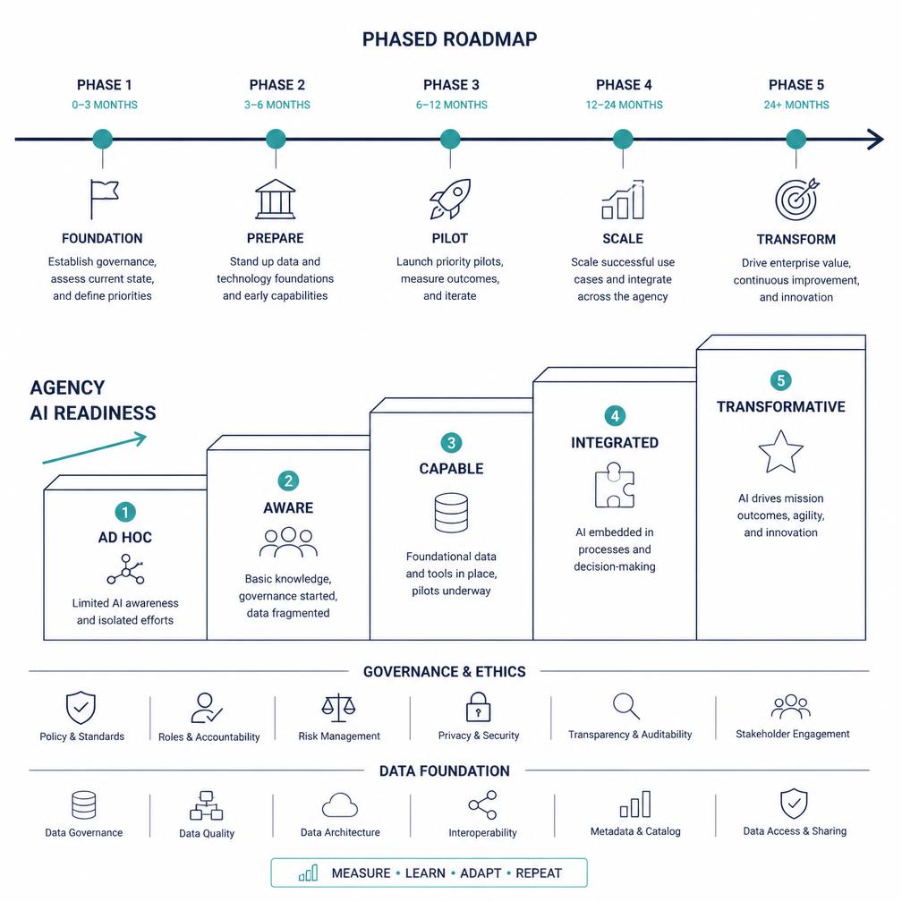
Becoming AI-ready is not simply a technology project. It requires executive leadership, trusted data, modern GIS infrastructure, effective governance, cybersecurity, workforce development, responsible procurement, and clearly defined public outcomes. Government agencies must determine where AI can create meaningful value, which data and technology foundations are required, how risks will be governed, and how employees and communities will be included in the transformation.

The final session brings the entire Academy together. Participants will learn how to assess their current capabilities, establish realistic priorities, build organizational support, and develop a phased roadmap for adopting geospatial and Physical AI responsibly.

Topics

  • AI strategy and executive leadership
  • Data governance and enterprise GIS
  • Organizational and workforce readiness
  • Responsible AI, cybersecurity, and public trust
  • Procurement, partnerships, and implementation
  • Building an actionable government AI roadmap

Key Takeaways

  • A framework for assessing their agency’s AI readiness
  • A clearer understanding of leadership, data, workforce, and governance requirements
  • The ability to prioritize achievable initiatives instead of isolated technology experiments
  • The foundation for developing a phased and responsible AI implementation roadmap

Who Should Attend

City and County ManagersAgency Executives and Department DirectorsCIOs, CTOs, and Chief Data OfficersGIS and Enterprise Technology LeadersFinance, Procurement, Legal, and Risk OfficersHuman Resources and Workforce Development LeadersElected Officials and Government Policy Leaders

Participants

Who Should Attend the Academy?

Designed for executive, technology, and operational leaders across local, state, provincial, and federal government. Participants may attend individual sessions based on their responsibilities or complete all six as a connected executive learning program.

  • City and County Managers
  • Mayors and Elected Officials
  • CIOs, CTOs, and Chief Data Officers
  • GIS Directors and Managers
  • Public Works Directors
  • Transportation Directors
  • Utility and Water Directors
  • Engineering Directors
  • Emergency Managers
  • Police and Fire Command Staff
  • Public Safety Communications Leaders
  • Asset Management Officers
  • Planning Directors
  • Capital Projects Directors
  • Resilience and Sustainability Officers
  • Finance, Procurement, Legal, and Risk Leaders
  • Innovation and Digital Transformation Teams

Why This Academy Is Different

Most AI education focuses on large language models, coding, or data science. Most GIS education focuses on mapping technologies and software. The Geospatial AI Academy for Government bridges these worlds. It demonstrates how GIS, machine learning, reality capture, digital twins, connected infrastructure, real-time operations, robotics, and autonomous systems are coming together to create the next generation of intelligent public services.

Participants will gain a clearer understanding of how to move from today’s GIS and data programs toward tomorrow’s intelligent, AI-enabled government—where spatial intelligence supports faster decisions, more resilient infrastructure, improved public safety, more effective investment, and better outcomes for every community.

Rather than asking only, “How can our agency use AI?” the Academy addresses a more important strategic question: How do we prepare government to operate in a world where AI can understand, monitor, predict, and increasingly act within the physical environment?

Faculty

Who teaches the Academy

Practitioners from government, engineering, and applied AI — each leading sessions grounded in real public-sector deployments.

Portrait of Jane Doe

Jane Doe

Academy Chair — Geospatial AI Strategy

Former state GIO who led a statewide digital twin program. Advises agencies on turning legacy GIS investments into AI-ready spatial infrastructure.

Portrait of John Doe

John Doe

Faculty — Machine Learning & Imagery

Computer vision practitioner focused on imagery, LiDAR and change detection at scale, with a decade of public-sector deployments across transportation networks.

Portrait of Jane Doe

Jane Doe

Faculty — Digital Twins & Smart Infrastructure

Civil engineer and digital twin architect connecting sensor networks, asset registries and real-time operations for utilities and public works agencies.

Portrait of John Doe

John Doe

Faculty — Physical AI, Robotics & Autonomy

Robotics leader working on inspection drones and autonomous field systems, advising governments on safe, accountable deployment of Physical AI.

Sponsorship & Speaking

Help shape the national conversation

130,000+

government and geospatial professionals reached through the AssetMapping.Events community.

The Geospatial AI Academy provides technology providers, consulting organizations, universities, and government innovators with an opportunity to help shape the national conversation about AI-ready government. Sponsors and speakers can contribute executive insight, practical government case studies, emerging technology demonstrations, and implementation guidance across the Academy’s six-session curriculum.

Organizations interested in sponsoring, speaking, or contributing a government case study are invited to contact:

Prepare Your Agency for the Physical AI Era

Join government executives, GIS professionals, infrastructure leaders, technology teams, and operational decision-makers for a structured exploration of the technologies that will shape the next decade of public service.

Learn the foundations · Understand the opportunities · Build the roadmap